Wilderland
Mount Rainier — Terrain Map
Mount Rainier — Terrain Map
Couldn't load pickup availability
Mount Rainier also drawn as Park SilhouettesNational ParksContour WavesElevation Profiles
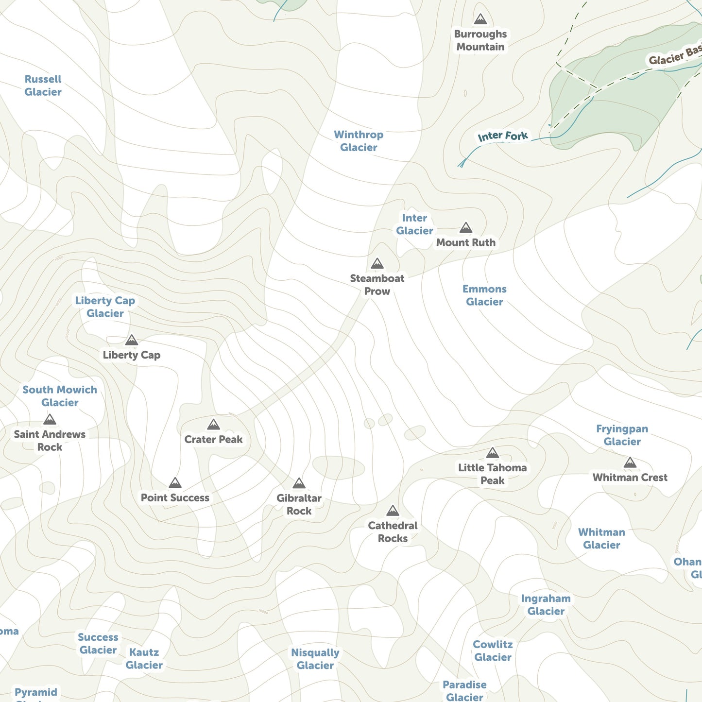
Mount Rainier, drawn as a soft, detailed terrain map.
Every glacier, creek, lake and named peak of Mount Rainier, Washington in gentle, muted colour — a whole mountain landscape to pore over. Real terrain and real place names, rendered warm rather than technical.
- Giclee print on enhanced matte fine-art paper (200gsm), archival pigment inks
- Drawn from USGS 3DEP terrain, GNIS place names and OpenStreetMap trails
- Full bleed, edge to edge
SIZES
- 12 x 16 in
- 18 x 24 in
- 24 x 32 in
Printed on demand by our professional print partner and shipped from the facility nearest you (US & UK production). Ships rolled in a sturdy tube.
The data behind this print
- Place
- Mount Rainier
- Region
- Cascades
- Series
- Terrain Maps
- Source
- USGS 3DEP terrain / USGS GNIS place names / OSM trails
Terrain: USGS 3DEP. Names: USGS GNIS. Trails: OpenStreetMap contributors.
Size guide
Size guide
| Inches | Centimetres |
|---|---|
| 12 × 16 in | 30 × 41 cm |
| 18 × 24 in | 46 × 61 cm |
| 24 × 32 in | 61 × 81 cm |
Printed on 200gsm enhanced matte fine-art paper with archival pigment inks, and shipped rolled in a tube. Sizes are the paper, not the image — each print carries a border. Frames aren’t included.
Share