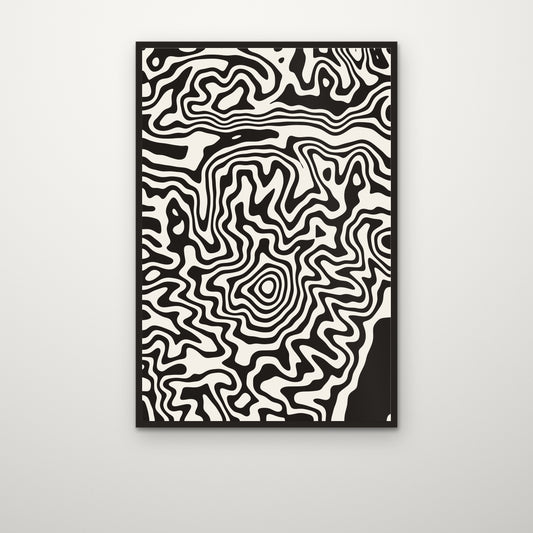
Pacific Northwest

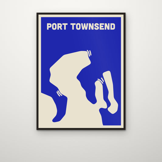
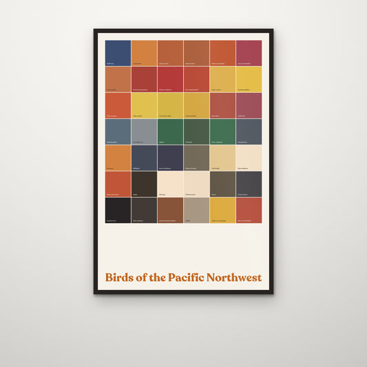
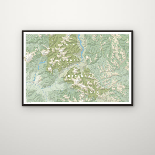
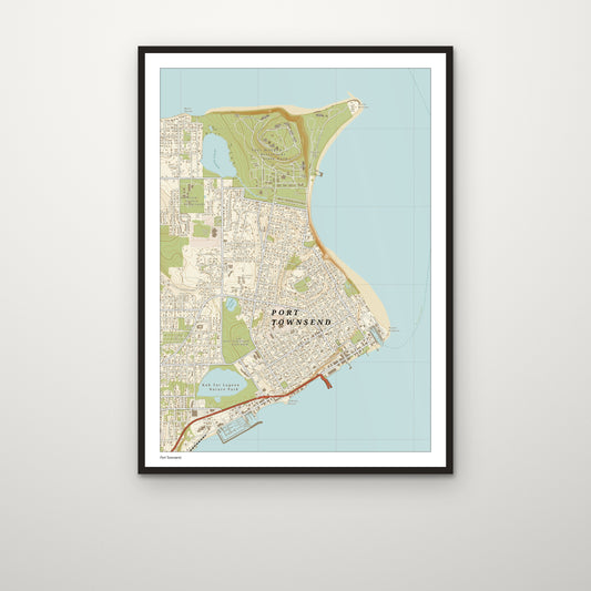
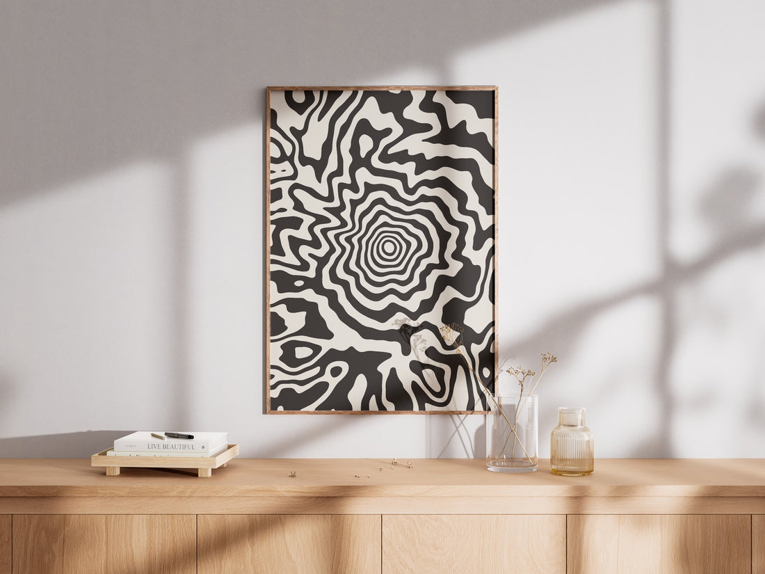
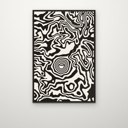
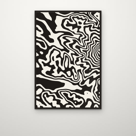
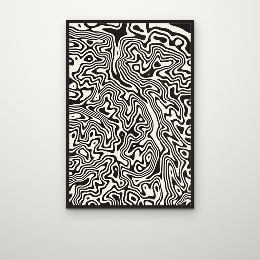
Every print here begins as a survey grid or an elevation model — seafloor soundings, river networks, the shape of a volcano — and ends as something you would hang on a wall. Nothing is illustrated from imagination. The Cascades, the Salish Sea and the Columbia basin, as the instruments record them.

  • Drawn from survey data

    NOAA and GMRT bathymetric grids, Copernicus and USGS elevation models, the HydroSHEDS river network. Each print names its source, so you can check the ground against the drawing.

  • Archival giclée

    200gsm enhanced matte fine-art paper, archival pigment inks, printed to order at the facility nearest you — a US press for US orders, a UK press for UK ones.

  • One region, properly

    This shop is the Pacific Northwest and nothing else: the Cascade volcanoes, the Olympics, the Salish Sea, the Columbia. Places worth knowing in detail.

Wearable topography