Wilderland
Port Townsend — Paper Cut
Port Townsend — Paper Cut
Couldn't load pickup availability
Port Townsend — the coast, cut from paper.
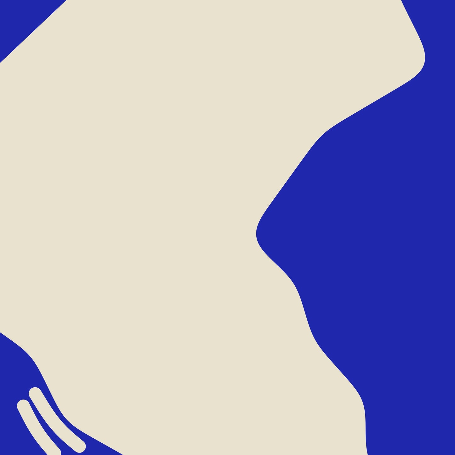
One flat shape of ultramarine on warm cream, and the sea is the ink: the land is the paper it was cut from. Every headland and inlet of Port Townsend and the Quimper Peninsula, Washington is real, taken from survey coastline and then reduced the way an illustrator would — narrow channels closed, small islets dropped, every tip and notch rounded — until the place reads as a single confident cut. The name is set large across the open water.
- Giclee print on enhanced matte fine-art paper (200gsm), archival pigment inks
- Built from OpenStreetMap coastline data
- Ultramarine on a warm cream ground, the title cut out of the sea
SIZES
- 12 x 16 in
- 18 x 24 in
Printed on demand by our professional print partner and shipped from the facility nearest you (US & UK production). Ships rolled in a sturdy tube.
The data behind this print
- Place
- Port Townsend
- Region
- Salish Sea
- Series
- Paper Cut
- Source
- OpenStreetMap coastline (water polygons)
Coastline: © OpenStreetMap contributors, ODbL.
Size guide
Size guide
| Inches | Centimetres |
|---|---|
| 12 × 16 in | 30 × 41 cm |
| 18 × 24 in | 46 × 61 cm |
Printed on 200gsm enhanced matte fine-art paper with archival pigment inks, and shipped rolled in a tube. Sizes are the paper, not the image — each print carries a border. Frames aren’t included.
Share