Wilderland
Salish Sea — Bathymetry
Salish Sea — Bathymetry
Couldn't load pickup availability


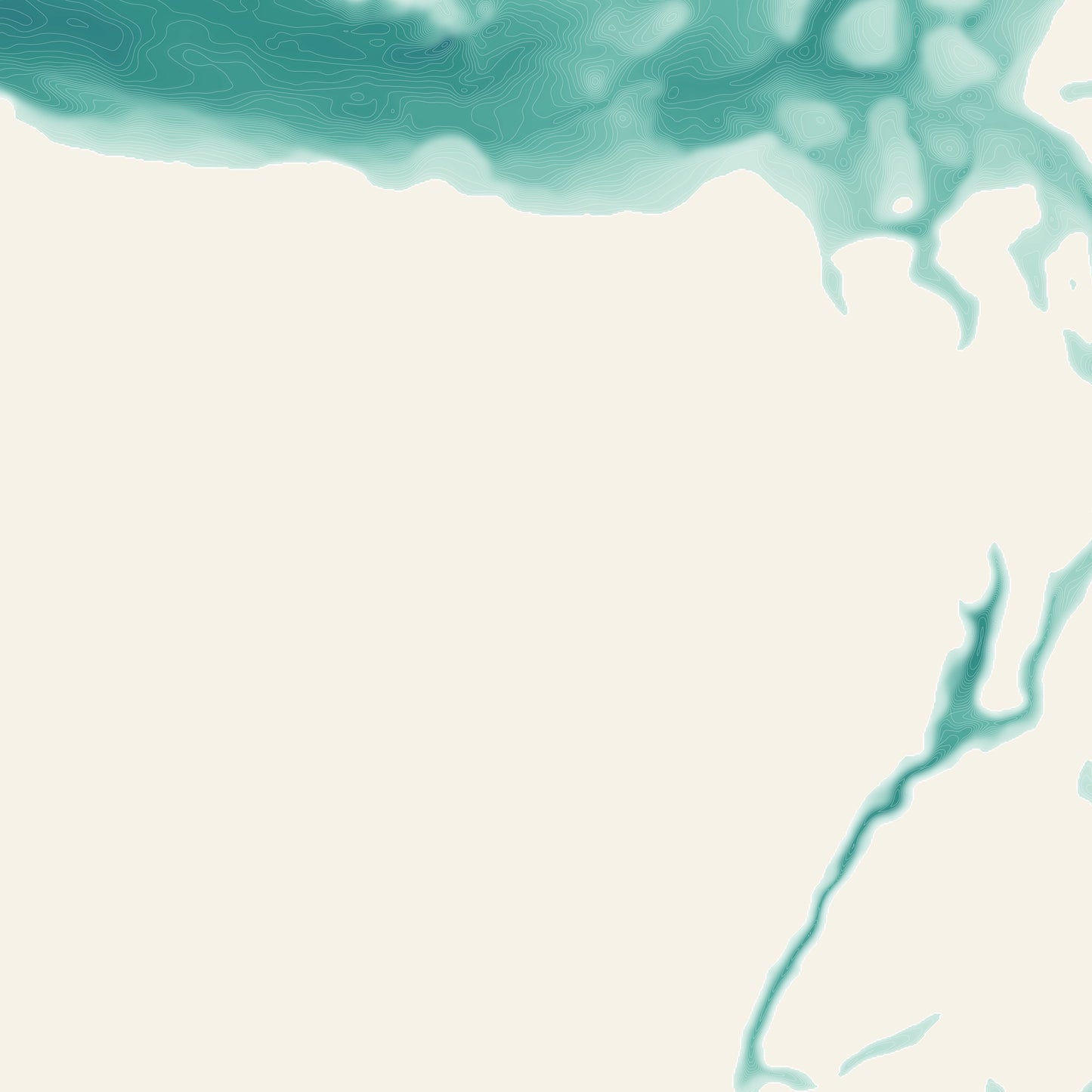
Salish Sea — the seafloor, drawn from real survey data.
This print maps the underwater landscape of the Salish Sea, from Puget Sound to the Strait of Georgia: every contour line traces true ocean depth, from the pale shallows of the shelf to the deep canyons offshore. Land is held back to a quiet creme so the sea does the talking.
- Giclee print on enhanced matte fine-art paper (200gsm), archival pigment inks
- Built from high-resolution bathymetric survey grids (NOAA NCEI / GMRT)
- Clean white border with the location captioned bottom-left
SIZES
- 12 x 18 in
- 16 x 24 in
- 20 x 30 in
- 24 x 36 in
Printed on demand by our professional print partner and shipped from the facility nearest you (US & UK production). Ships rolled in a sturdy tube.
The data behind this print
- Place
- Salish Sea
- Region
- PNW
- Series
- Bathymetry
- Source
- NOAA NCEI / GMRT bathymetric survey grids
Bathymetry: NOAA NCEI Coastal Relief Model & GMRT
Size guide
Size guide
| Inches | Centimetres |
|---|---|
| 12 × 18 in | 30 × 46 cm |
| 16 × 24 in | 41 × 61 cm |
| 20 × 30 in | 51 × 76 cm |
| 24 × 36 in | 61 × 91 cm |
Printed on 200gsm enhanced matte fine-art paper with archival pigment inks, and shipped rolled in a tube. Sizes are the paper, not the image — each print carries a border. Frames aren’t included.