Wilderland
The Wilderness Areas of Washington — Strata
The Wilderness Areas of Washington — Strata
Couldn't load pickup availability
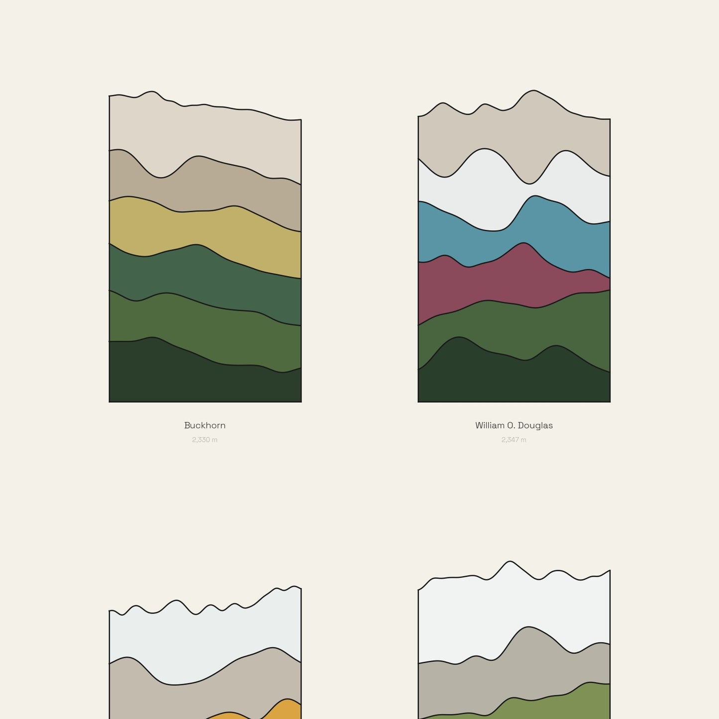
The Wilderness Areas of Washington — one column each, and every column true to scale.
Each block on this sheet is a real place in the wilderness areas of Washington, drawn as a stack of its own ground: forest green at the foot, meadow and rock above it, snow and ice at the top, with the summit transect itself as the ragged upper edge. The columns are not stylised to fit — a taller one is a higher place.
- Giclee print on enhanced matte fine-art paper (200gsm), archival pigment inks
- Column height is real elevation; the top edge is the measured summit profile
- Built from the USGS 3DEP elevation model, captioned bottom-left
SIZES
- 12 x 16 in
Printed on demand by our professional print partner and shipped from the facility nearest you (US & UK production). Ships rolled in a sturdy tube.
The data behind this print
- Place
- The Wilderness Areas of Washington
- Region
- Washington
- Series
- Strata
- Source
- USGS 3DEP elevation model
Terrain: USGS 3DEP.
Size guide
Size guide
| Inches | Centimetres |
|---|---|
| 12 × 16 in | 30 × 41 cm |
Printed on 200gsm enhanced matte fine-art paper with archival pigment inks, and shipped rolled in a tube. Sizes are the paper, not the image — each print carries a border. Frames aren’t included.
Share