Wilderland
Mount Rainier — Elevation
Mount Rainier — Elevation
Couldn't load pickup availability
Mount Rainier also drawn as Terrain MapsPark SilhouettesNational ParksContour Waves
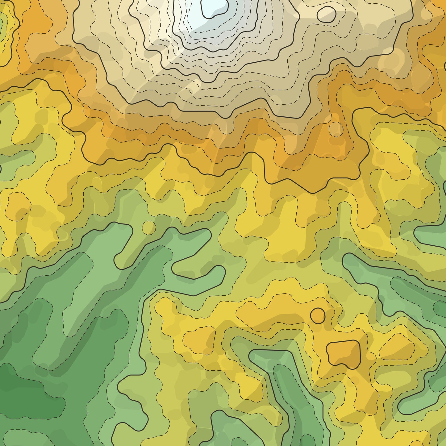
Mount Rainier — the park read purely as height.
Mount Rainier National Park, Washington with every other layer stripped away: no roads, no labels, only the ground itself, tinted from valley green through ridge gold to the pale grey and white of the high country. The rivers appear where they have to, cut into the terrain rather than drawn on top of it.
- Giclee print on enhanced matte fine-art paper (200gsm), archival pigment inks
- Built from the USGS 3DEP elevation model, clipped to the park boundary
- The park named below the map in a quiet serif
SIZES
- 12 x 18 in
- 16 x 24 in
- 20 x 30 in
Printed on demand by our professional print partner and shipped from the facility nearest you (US & UK production). Ships rolled in a sturdy tube.
The data behind this print
- Place
- Mount Rainier
- Region
- Cascades
- Series
- Park Elevation
- Source
- USGS 3DEP elevation model
Terrain: USGS 3DEP. Park boundary: US National Park Service.
Size guide
Size guide
| Inches | Centimetres |
|---|---|
| 12 × 18 in | 30 × 46 cm |
| 16 × 24 in | 41 × 61 cm |
| 20 × 30 in | 51 × 76 cm |
Printed on 200gsm enhanced matte fine-art paper with archival pigment inks, and shipped rolled in a tube. Sizes are the paper, not the image — each print carries a border. Frames aren’t included.
Share