Wilderland
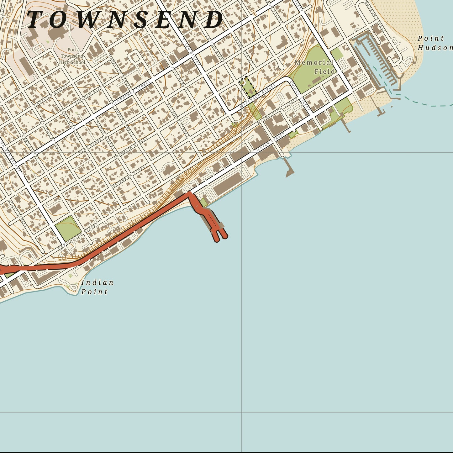
Port Townsend — Town Map
Port Townsend — Town Map
Couldn't load pickup availability
Port Townsend also drawn as Paper Cut
Port Townsend, drawn the way the Ordnance Survey drew a One-Inch sheet.
Every street and building block, the parks and the shoreline, contours over the bluffs and the whole waterfront of Port Townsend, Washington — set in the OS colour language of buff roads, olive greens and pale sea, with a kilometre grid over the top. A town read the way a walker reads it.
- Giclee print on enhanced matte fine-art paper (200gsm), archival pigment inks
- Drawn from OpenStreetMap, USGS 3DEP contours and NOAA shoreline
- Rendered at 1:12,000 with a 1 km grid
- One margin all round, the town named bottom left
SIZES
- 12 x 16 in
- 18 x 24 in
- 24 x 32 in
Printed on demand by our professional print partner and shipped from the facility nearest you (US & UK production). Ships rolled in a sturdy tube.
The data behind this print
- Place
- Port Townsend
- Region
- Salish Sea
- Series
- Town Maps
- Source
- OpenStreetMap / USGS 3DEP elevation / NOAA charts
Map data: OpenStreetMap contributors (ODbL). Contours: USGS 3DEP. Shoreline and soundings: NOAA.
Size guide
Size guide
| Inches | Centimetres |
|---|---|
| 12 × 16 in | 30 × 41 cm |
| 18 × 24 in | 46 × 61 cm |
| 24 × 32 in | 61 × 81 cm |
Printed on 200gsm enhanced matte fine-art paper with archival pigment inks, and shipped rolled in a tube. Sizes are the paper, not the image — each print carries a border. Frames aren’t included.
Share